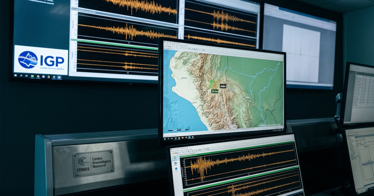
Peru recorded a series of seismic events on Monday, November 9, 2026, led by a 4.8-magnitude tremor in the Amazon region of Loreto that prompted safety guidance from national authorities.
A 5.3 Magnitude Tremor Struck East of Lagunas
The day’s most energetic movement struck at 05:23 local time, originating 63 kilometers east of Lagunas in the province of Alto Amazonas, according to the National Seismological Center of the Geophysical Institute of Peru. The quake registered a depth of 149 kilometers and reached an intensity of grade III on the Modified Mercalli scale in Lagunas, where local emergency officials reported no immediate personal or material damage.
The Colombian Geological Service measured the Loreto tremor at a magnitude of 5.3 with a shallow depth, while the Euro-Mediterranean Seismological Centre recorded it at 5.8. The United States Geological Survey reported the magnitude at 5.3 with an 11.5-kilometer depth, noting that the shaking was felt across distant urban centers including Iquitos, Piura, Chiclayo, Trujillo, and Lima.
#SismosColombiaSGC Evento Sísmico Internacional – Boletín Actualizado 1, 2026-11-09, 05:23 hora local. Magnitud 5.3. Profundidad superficial, Lagunas, Perú #NoticiaEnDesarrollo #Temblor #Sismo Más información: https://t.co/63pt8nVsSe pic.twitter.com/8PlG53HYLd
Additional monitoring throughout the day by the Geophysical Institute of Peru tracked multiple distinct movements across the national territory.
Afternoon Shaking in Moquegua and Arequipa
Seismic activity continued into the afternoon hours across the country’s southern departments. At 12:50:50, a 3.5-magnitude tremor struck 22 kilometers south of Moquegua in the Mariscal Nieto province, registering a depth of 29 kilometers and a maximum intensity of II. Civil Defense and the National Emergency Operations Center kept teams on alert for potential impacts, though no damage emerged.
A second afternoon event occurred at 14:19:54 with a magnitude of 4.3, centered 92 kilometers west of Andoas in the Datem del Marañón province of Loreto at a depth of 105 kilometers. Shortly afterward, at 14:38:56, a 3.6-magnitude earthquake registered 30 kilometers southeast of Punta de Bombón in the Islay province of Arequipa. That southern shock originated at a depth of 46 kilometers and produced an intensity of II-III in Punta de Bombón.
Plate Subduction Drives Seismic Activity in Peru
Peruvian authorities attribute the constant seismic activity to the country’s position along the Pacific Ring of Fire, where the subduction of the Nazca Plate beneath the South American Plate generates continuous tectonic friction and energy release.
M5.3 earthquake – 80 km ENE of Lagunas, Peru Nov 9 05:23 local time (12m ago) Depth 11 kmhttps://t.co/pdNtZPZuwn Map from NewQuake for iPhone: https://t.co/WBbjdXUREP pic.twitter.com/emBcYThCkk
Historical records from the region include severe historical disasters, such as the May 31, 1970, earthquake in Áncash that triggered an avalanche burying Yungay.
“In three minutes, it disappeared. In three minutes, the whole town of Yungay ceased to exist,” says Juan Márquez Sánchez, a local guide at the Campo Santo.
Guidelines urge households to prepare an emergency backpack containing non-perishable food, bottled water, a flashlight, a radio, and first-aid items designed to sustain individuals during the initial hours following a disaster.
During and after seismic activity, specialists recommend avoiding phone calls because telecommunications lines frequently saturate, potentially delaying assistance for affected individuals.