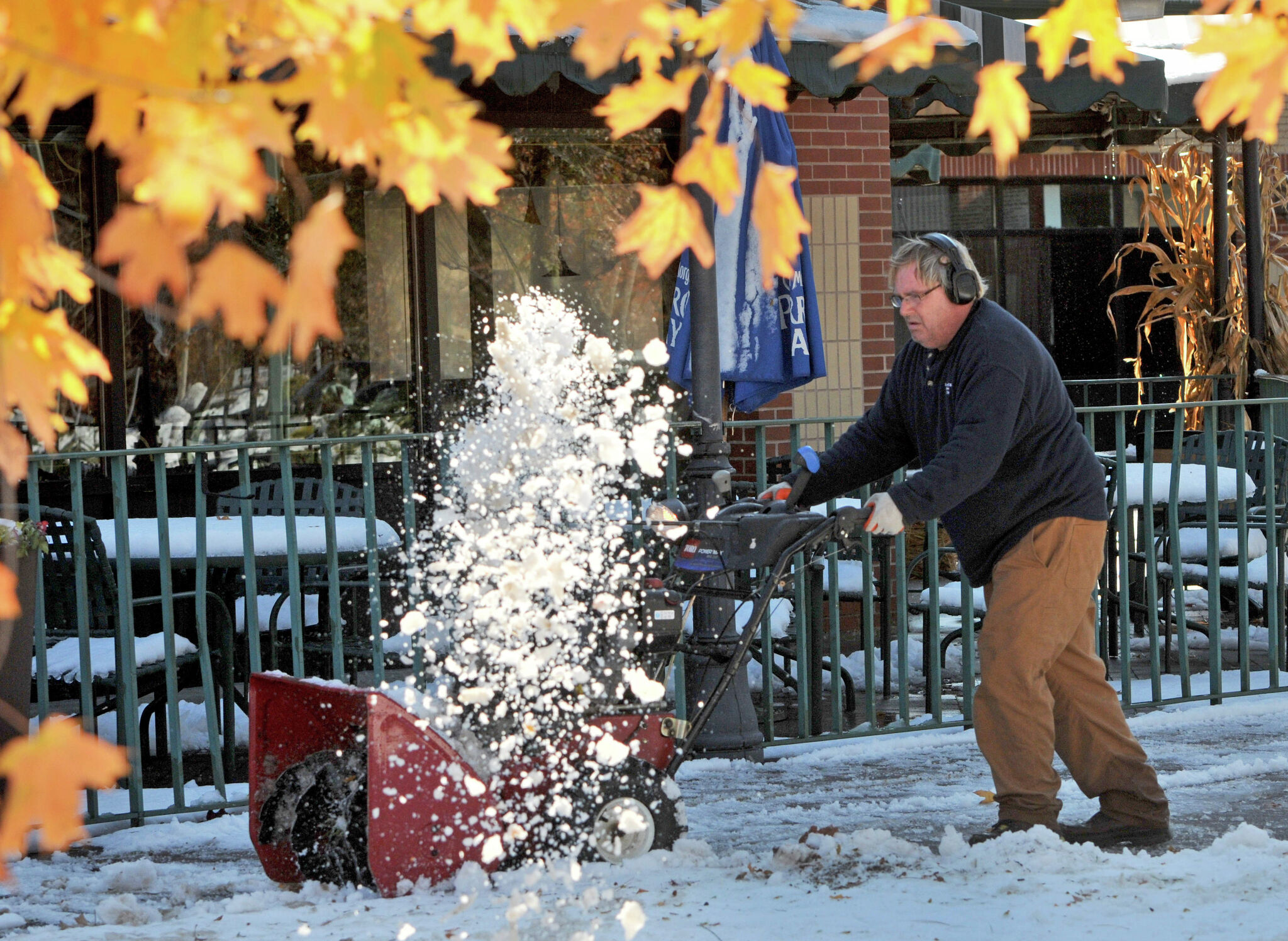
Connecticut residents are currently waiting for the first measurable snowfall of the 2026 winter season, with historical data suggesting a typical arrival window between late November and early December. While average dates point toward the period surrounding Thanksgiving, historical extremes show the state is capable of everything from October snowstorms to January arrivals, CT Insider reported.
For inland communities, an October storm can be far more disruptive than a late November dusting, as seen when heavy, wet snow knocked out power to more than 880,000 customers across the state in 2011.
The Historical Range of First Snows
The “average” date is a useful benchmark, but Connecticut’s geography—wedged between the cold interior and the tempering influence of Long Island Sound—creates a wide variance in when the first 0.1 inches of snow actually stick. According to historical snowfall data cited by CT Insider, the typical timeline breaks down by region:
| City | Average First Measurable Snow | Earliest Record | Latest Record |
|---|---|---|---|
| Hartford | Nov. 27 | Oct. 10, 1979 | Jan. 26, 1928 |
| New Haven | Nov. 26 | Oct. 26, 1962 | Dec. 21, 1954 |
| Bridgeport | Dec. 4 | Oct. 29, 2011 | Jan. 19, 2007 |
Historical snowfall information indicates that for Hartford specifically, the 2026 benchmark for first accumulating snow falls around December 2, which is six days after Thanksgiving.

2011 Nor'easter Shattered October Snow Records
While the averages suggest a patient wait, the October 29-30, 2011, nor'easter showed how quickly the narrative can shift. That specific storm shattered records, dumping 12.3 inches of snow at Bradley International Airport in Windsor Locks—obliterating the previous October record of just 1.7 inches. Heavy, wet snow knocked out power to more than 880,000 customers across the state, proving that an early start to the season is often the most dangerous.
El Niño and the 2026 Outlook
Looking ahead to the current season, the signals are mixed. The NOAA Climate Prediction Center’s 8- to 14-day outlook indicates above-normal temperatures for much of the contiguous U.S. between November 5 and November 11. This warmer signal makes a widespread, immediate start to the snow season less likely, though it doesn’t eliminate the possibility of an isolated cold snap.
The broader seasonal driver this year is El Niño, a warming of the tropical Pacific that alters the jet stream. According to NOAA’s seasonal outlook, this could shift the storm track southward and eastward, potentially favoring stormier conditions along the East Coast from December through February.
However, “stormier” does not automatically translate to “snowier.” The critical variable is the temperature. With the current trend leaning warmer and wetter, many of these systems could arrive as rain or a messy mix of sleet and freezing rain. Freezing rain is a particular hazard in Connecticut’s transition zone, where liquid precipitation freezes on contact with cold roads and bridges, creating dangerous travel conditions even without significant snowfall.

Climate Signals Conflict with Local Snowfall Forecasts
There is a natural tension between broad climate signals and local reality. While the CPC and NOAA provide the “odds” over several months, these are not day-by-day predictions. WeatherBELL has noted that current forecast models keep real snowfall chances locked up north through much of November.
Some might argue that warmer-than-normal signals make an immediate, widespread start to the snow season, such as the October 2011 disaster, less likely. For the resident of a coastal town like Bridgeport, the window is usually wider, but the risk of a “mixed bag” storm—where a few degrees determine if the day is a rainy Tuesday or a snow day—is constant.
As Connecticut moves toward the November 26 Thanksgiving holiday, the focus shifts from historical averages to the immediate movement of the jet stream. All it takes is one significant storm to rewrite the season’s narrative and move the state from a “warm start” to a winter emergency.