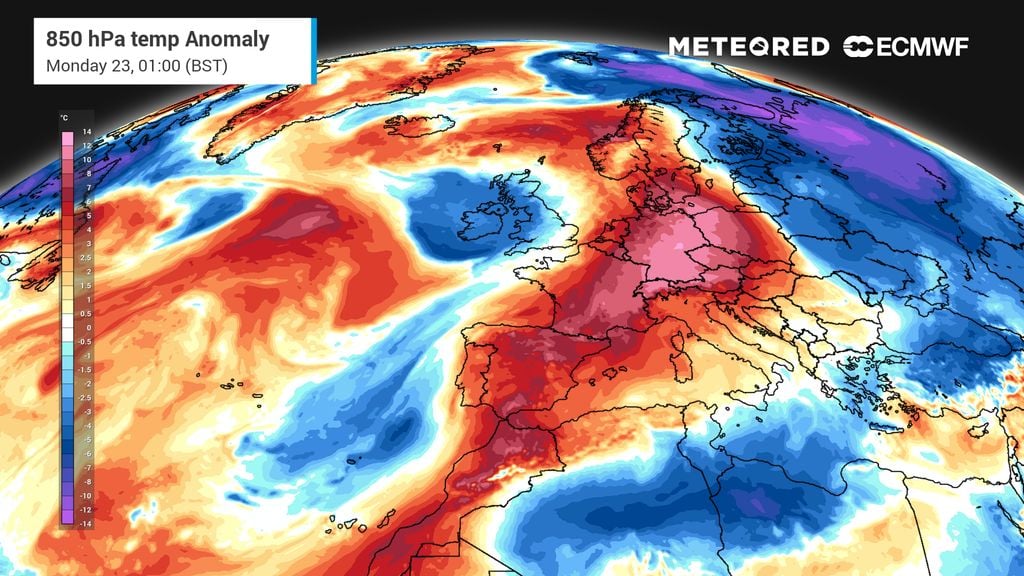
Heavy rainfall is expected to sweep across Slovenia and the northern Adriatic region starting this week, with meteorologists warning of a multi-day weather system capable of triggering significant floods and landslides.
The approaching Atlantic storm, named Charles, is currently moving toward the European continent, bringing with it the potential for extreme winds and sustained precipitation.
Italian meteorologist Peppe Caridi characterized the system as one of the most severe and long-lasting weather patterns in recent decades, noting that high-pressure zones over the eastern Balkans may slow the movement of the disturbance, causing it to linger over the Adriatic.
Experts warn that because the ground is already saturated, its ability to absorb further moisture is limited, significantly heightening the risk of flooding.
Meteorologists indicate that the Sava Bohinjka and Sava Dolinka rivers could rise significantly, with the resulting flood wave potentially extending toward central Slovenia. Severe Weather Europe reports that with such high volumes of rain in the immediate vicinity, the situation can escalate rapidly.
During this time, the zero-degree isotherm in the Julian Alps is expected to rise above 2,300 to 2,500 meters, which may accelerate the melting of snow from previous weeks and further increase water levels in streams and torrents.
The outlook changes significantly by the end of the week. The Environment Agency of the Republic of Slovenia (ARSO) reports that while Thursday will remain rainy, Friday will bring a colder air mass. As the north-easterly wind picks up and the bora wind strengthens on the coast, the freezing level will drop, marking a sharp transition to winter conditions.
While ARSO notes that there is currently no basis to forecast catastrophic flooding in Slovenia, they advise that given the volatility of such weather systems, residents in western areas should remain vigilant for updated alerts.