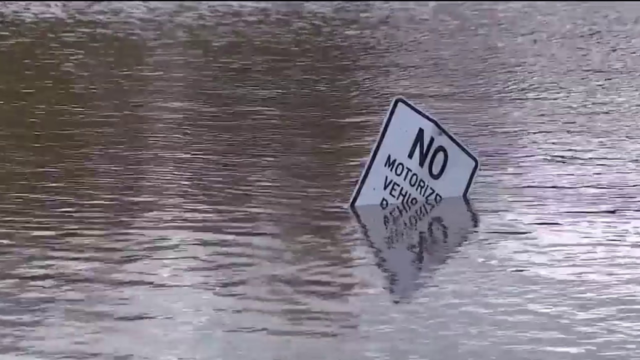
Rising Floodwaters
A broad Flood Watch remains in effect across a vast swath of Arizona, stretching until Monday at 5:00 AM MST.
The severe weather alerts cover multiple regions throughout the state, highlighting a widespread hydrological threat. Impact zones range from Eastern Cochise County below 5,000 feet, including Douglas and Wilcox, to the Upper Gila River and Aravaipa Valleys encompassing Clifton and Safford. Southeast Pinal County communities like Kearny, Mammoth, and Oracle are also under active watch.
Western Pima County—including Ajo and Organ Pipe Cactus National Monument—faces the same rising water risks. Mountain ranges across southern and southeastern Arizona, such as the Dragoon, Mule, Huachuca, and Santa Rita Mountains including Bisbee, Canelo Hills, and Madera Canyon, are closely monitored.
Storm Conditions Intensify Across Tucson Metro Area and Mountain Ranges
The Tucson Metro Area, spanning Tucson, Green Valley, Marana, and Vail, braces for significant runoff. The Tohono O’odham Nation including Sells, the Baboquivari Mountains near Kitt Peak, and the Upper San Pedro River Valley including Sierra Vista and Benson are experiencing intensifying storm conditions.
Elevation is no shield against the persistent moisture system. High-altitude zones including the Chiricahua Mountains, the Galiuro and Pinaleno Mountains near Mount Graham, and the Santa Catalina and Rincon Mountains including Mount Lemmon and Summerhaven are under weather advisories.
Further north and east, alerts span the White Mountains of Graham and Greenlee Counties including Hannagan Meadow, South Central Pinal County including Eloy and Picacho Peak State Park, and the Upper Santa Cruz River and Altar Valleys including Nogales.
Urban centers and desert corridors alike are feeling the pressure. The National Weather Service tracking data notes active watches across the Northwest Plateau, Lake Havasu, Fort Mohave, North Phoenix, Glendale, Aguila Valley, Mazatzal Mountains, and the Tonopah Desert.