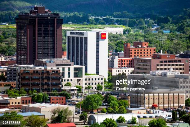
A Shift in the Billings Horizon
The atmosphere across South Central and Southeast Montana is preparing for a transition. According to data provided by the National Weather Service in Billings, the regional forecast for the coming days signals a departure from the clear, warming trends that have defined the recent stretch. While residents in zones like the Northeast Bighorn Mountains—including the city of Burgess Junction—have enjoyed mild, sunny conditions with highs reaching into the mid-50s, the meteorological outlook is beginning to lean toward more unsettled territory. For those tracking the shift, the primary concern lies in the weekend transition.
Farmers and Ranchers Prepare for Early-Season Moisture
A consistent, dry autumn is often vital for late-season harvesting and the management of livestock before the harsh winter dormancy. When the National Weather Service projects a 30 percent chance of rain and snow showers, as they have for the start of next week, it ripples through local planning. Farmers and ranchers, who rely on these precise zone forecasts to plan their daily field work, must now account for the potential of early-season moisture.
The latest data from the National Weather Service indicates a slight chance of rain showers in the morning, a slight chance of snow showers late in the morning, then a chance of rain showers in the afternoon.
This is a classic high-plains weather pattern, where the proximity to the Bighorn Mountains can amplify minor atmospheric disturbances into localized weather events.
Comparing the Regional Outlook
The forecast for the Sheridan Foothills presents a slightly different rhythm compared to the higher elevations. While both areas share the overarching trend of cooling, the Sheridan area is seeing lighter, more variable winds, which can significantly alter how the temperature feels on the ground. By examining the zone-specific data, one can see the divergence: while Billings anticipates a 20 percent chance of rain showers by Sunday, the Sheridan area remains focused on the decline in overnight lows, which are expected to hover around the mid-30s.
This granular level of detail is essential for the regional economy. Whether it is a logistics company planning routes through the mountain passes or a local municipality managing road safety, these fluctuations are far more than academic numbers. They are the variables that dictate daily operations for thousands of Montanans.
Snow Threatens Higher Elevations in South Central Montana
As we look toward the early part of next week, the primary question remains the intensity of the incoming system. While the current 30 percent probability of precipitation is relatively low, the presence of snow in the forecast for the higher elevations shows how quickly conditions can change. The National Weather Service continues to update these models, and for the residents of South Central Montana, the next few days will be a test of the season’s resilience.
Historically, mid-October in this region acts as a threshold. The contrast between the warm, 60-degree days we have recently experienced and the potential for sub-freezing nights is a standard feature of the Montana climate. It is a reminder that in this part of the country, the weather is not merely a backdrop to civic life; it is a primary participant in the regional experience.