Sierra Weekend Storm Brings Rain and Up to a Foot of Snow to High Elevations
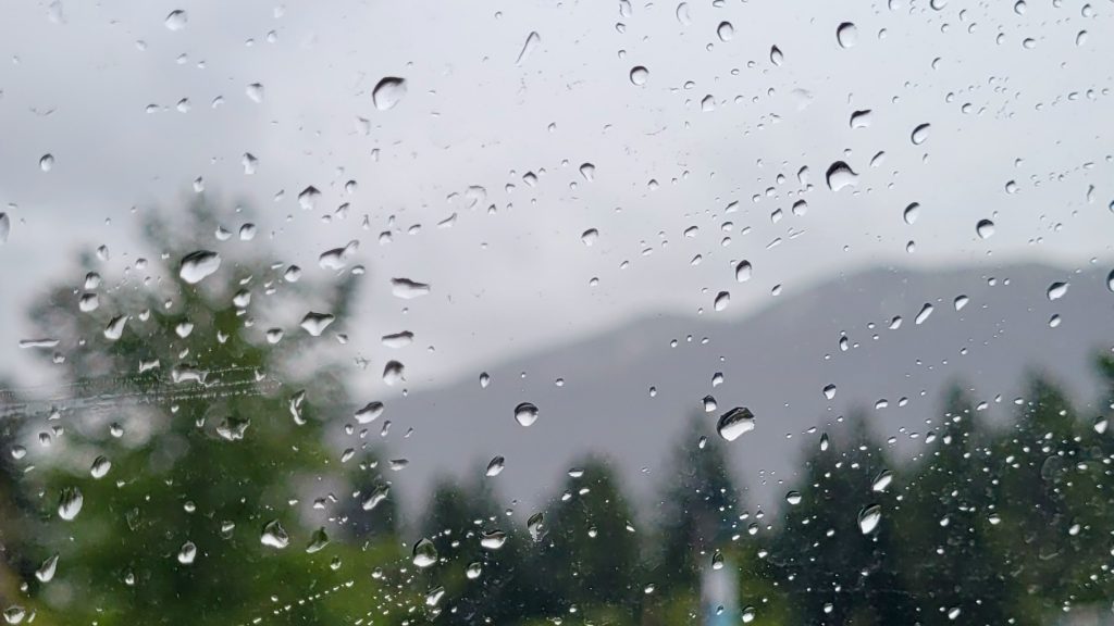
A late-October weekend storm is moving across the Lake Tahoe region, bringing rain to lower elevations and an expected 6 to 12 inches of snow above roughly 7,500 feet. Precipitation is expected to linger through Sunday morning before clearing out.
Lower elevations will see mainly rain, while mid-mountain areas experience a mix of rain and snow. Snow levels are forecast to fluctuate around 7,000 feet for much of the storm, rising toward 8,000 feet during lighter precipitation periods before potentially dropping closer to the base of the mountains by Sunday morning.
Bryan Allegretto, forecaster for OpenSnow, used formulas developed over two decades of forecasting for the northern Sierra to project around 1 inch of total precipitation near the crest. He noted there will be good spillover to the east side of the Sierra and Lake Tahoe.

The National Weather Service in Reno forecasts 1 to 4 inches of snow above 8,000 feet in the Carson Range and areas north of U.S. Highway 50. Farther south, totals could reach 3 to 6 inches above 8,000 feet. Forecasters indicated a 30% to 70% chance of snowfall exceeding 6 inches above 9,000 to 10,000 feet, with isolated locations near the crest potentially receiving up to 9 inches.
Between 6,500 and 8,000 feet, the NWS expects a trace to 2 inches of snow, though localized bursts could produce higher totals. “I wouldn’t be surprised if there were light, brief snow bursts below 6,500 feet due to air saturation in the Tahoe Basin and portions of U.S. portions of U.S. Highway 395 in Mono County,” a National Weather Service forecaster said in Thursday morning’s forecast discussion.”
Travelers crossing mountain passes this weekend are advised to monitor conditions closely. The NWS recommends checking road updates through Caltrans and the Nevada Department of Transportation before traveling on routes such as Mount Rose Highway.

Storm System Clears Out Before Warmer Temperatures Arrive
The system is projected to clear by sometime Sunday, making way for sunshine and warmer temperatures heading into next week. Highs could reach the 40s at higher elevations and the 50s near lake level.
While the first part of the upcoming week remains mostly dry, weather patterns could shift later in the month. Additional storms may open up beyond November 10, according to OpenSnow forecasts.