The Weekend Weather Shift in Houston
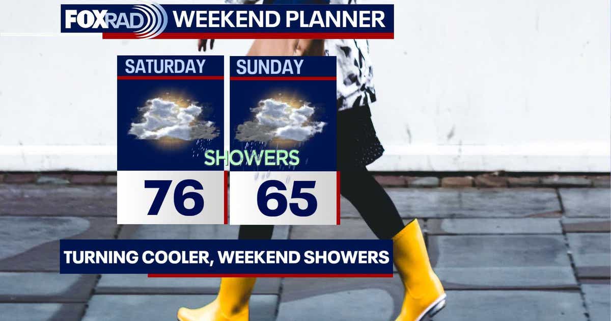
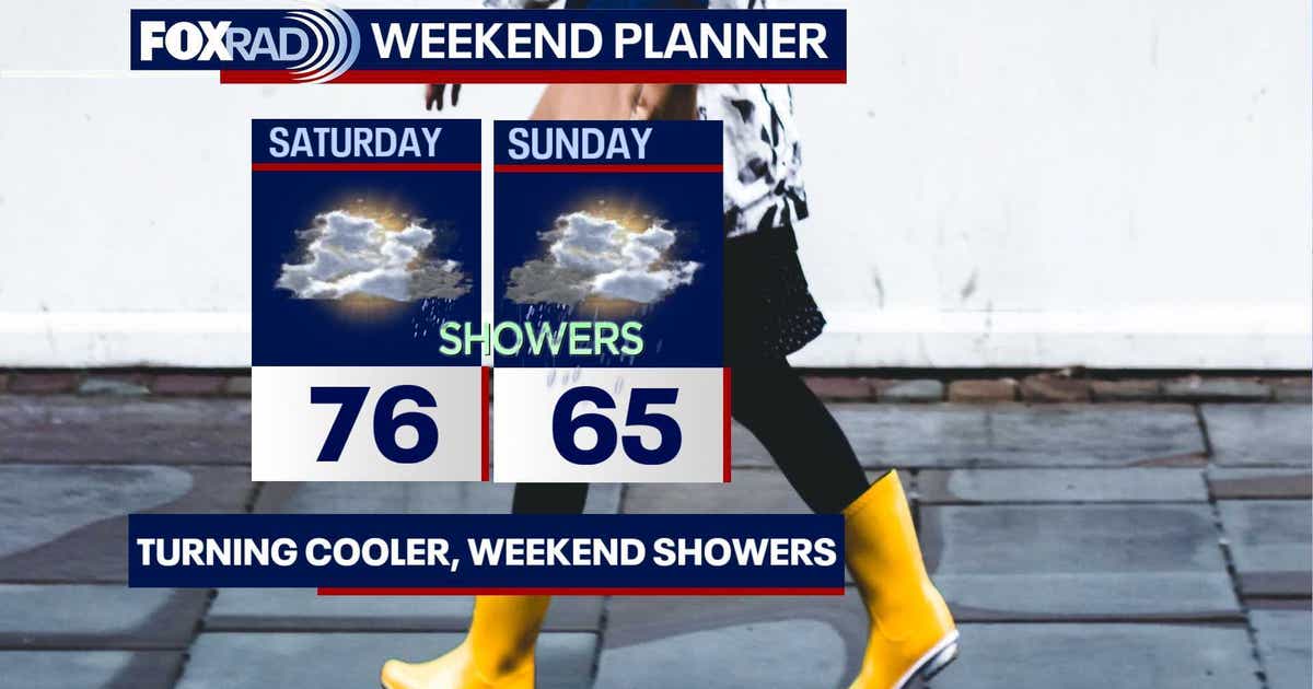
For residents across the Houston area, the transition from a pleasant Saturday to a decidedly soggy Sunday shows the region’s volatile autumn climate. While Saturday morning begins with partly cloudy skies and temperatures climbing into the middle 70s, the atmosphere is set to change significantly as a low-pressure system approaches from the southwest. Your Gulf Coast Weather Authority reports that the most notable rain chances will arrive Saturday evening and persist through the night, particularly for those living west of Interstate 45.
The shift represents a classic late-fall pattern for Southeast Texas, where the collision of air masses often dictates the severity of the weekend forecast. While the initial outlook for Saturday remains comfortable, the movement of this system will bring a cooler, more damp reality by the time many residents wake up on Sunday morning.
Sunday’s Soggy Outlook and Regional Flood Risks
Sunday is shaping up to be a chilly and overcast affair. Temperatures will struggle to climb, likely peaking only in the mid 60s throughout the day. This moisture-heavy system is expected to produce periods of steady rain, with the most significant accumulation projected for areas west and south of Houston. According to reporting from Newsbeep, the threat level for street flooding is not uniform across the region; the primary concern for heavy rainfall remains to the southwest across South Texas, where meteorologists have issued a Level 2 out of 4 risk for street flooding on Sunday.
Click2Houston notes that while the region is seeing a return of rain, the threat of a complete washout remains localized. Their forecast suggests a 30% chance of rain for the immediate Houston area, emphasizing that the bulk of the precipitation will likely track west of I-45. This distinction is critical for commuters and those planning outdoor activities, as the difference between a light drizzle and steady, heavy rain often hinges on which side of the interstate a neighborhood sits.
The Longer-Term Cooling Trend
Beyond the immediate weekend dampness, the region is bracing for a sustained period of cooler temperatures. As the rain chances decrease following Monday, the morning lows are expected to settle comfortably into the 50s. Some northern suburbs could see temperatures dip into the 40s by Monday morning, signaling a definitive move toward more traditional fall weather. Highs throughout the coming week are expected to remain in the upper 60s and 70s, a trend that aligns closely with historical averages for early November.
The remainder of this hurricane season will limp to the finish line, and this disturbance is a good example. The area in the orange color has a 40% chance of becoming our next named storm. It is moving east and will not affect the United States. The next name on the list is Kyle.
This assessment from Click2Houston provides an update on a region tracking a tropical disturbance that is moving away from the United States. While the current system brings rain, it appears to be a standard seasonal front rather than a tropical threat. The National Hurricane Center continues to monitor official tropical weather outlooks to ensure that any late-season disturbances are tracked with precision, though the current forecast suggests the United States will remain clear of this particular development.
Infrastructure and the Economic Stakes
For the business sector, the transition from a Saturday with rain chances to a rainy Sunday impacts scheduling and site safety. When the ground is saturated, a flooding risk can lead to localized drainage issues, affecting street-level traffic and the efficiency of the regional supply chain.
The contrast between the pleasant Saturday and the cooler Sunday highlights the temperature swings that accompany the weather.